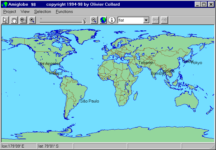
After starting the program, the World Map should appear, along with the Amiglobe main bar. This main bar contains the main commands to navigate on the map and to obtain information.

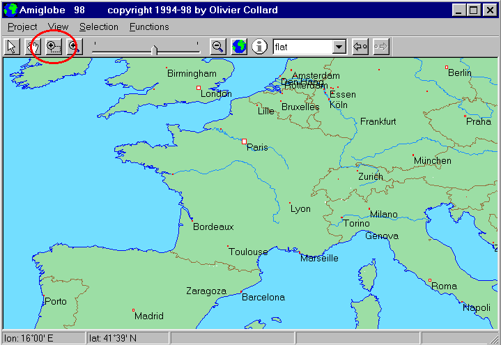
Zoom: Click on ![]() and draw a rectangle around a country (France, for example). The map will
now show the part you have drawn. Hit the '+' key to zoom further. Cities,
rivers and main peaks are then visible.
and draw a rectangle around a country (France, for example). The map will
now show the part you have drawn. Hit the '+' key to zoom further. Cities,
rivers and main peaks are then visible.

Moving: Click
on ![]() , then
click on the map while dragging the mouse to move on the map. To
get the arrow back, click on
, then
click on the map while dragging the mouse to move on the map. To
get the arrow back, click on ![]() .
.
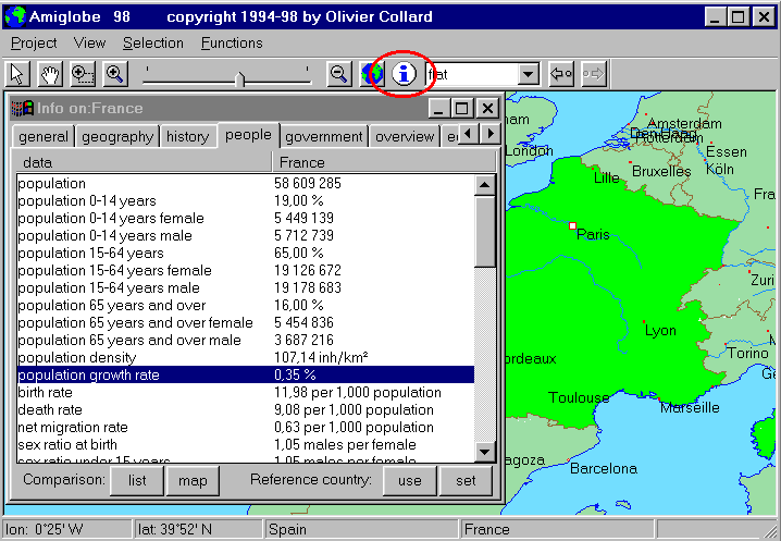
Information: Click on a country; it will be filled
in green. Then click on ![]() :
a window is opened with the map of the country and data about it.
:
a window is opened with the map of the country and data about it.

There are 9 categories:
You can let this window open, but reduce its size for the next operations.