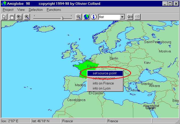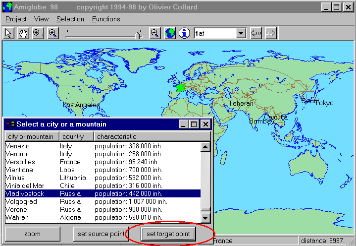

Select a city or a mountain: in the Selection Menu, choose City or mountain; the list will appear. Choose a city or a mountain that you have never heard before and click on its name; some information about it will appear. Click on Target Point: the target point will be set on this element and the distance will no longer change; the distance shown is the distance between Source Point and Target point.

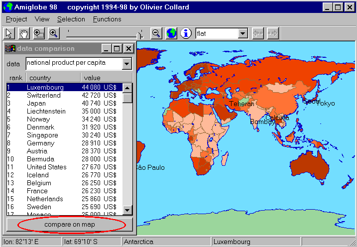
Data comparison: Select Functions/Data comparison. The data comparison window will appear. Select a data in the data list (for example national product per capita), to see a list ranking all the countries with their national product per capita. Click then on compare on map: the countries will be filled in a color gradation.

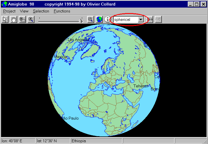
New projection: Use the cycle menu in the Command panel to select a new projection (spherical, for example).

Quit: select quit in the Project Menu